Enterprise-Grade • 14 Regions • 99.9% Uptime

Software ThatSecures, Locatesand Delights

Custom-Built, Secure, and Scalable Digital Solutions for Namibia

~/vta-span
$npm create vta-app
Creating secure, spatial application...
Adding location intelligence...
Integrating multimedia UX...
Project ready in 3.2s
code
preview
preview
HomeServicesSoftware Development
47%
Faster Development
99.9%
Uptime Guarantee
86%
Fewer Vulnerabilities
100%
Client Satisfaction

Three Reasons We're Different

We do not just write code. We build secure, location aware, beautiful systems that solve real problems.
Security-First Architecture

Security-First Architecture

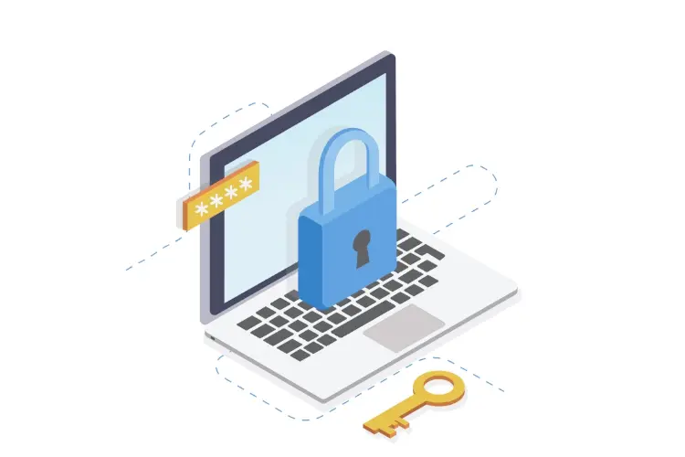
Every line of code is written with security as the foundation not an afterthought. End-to-end encryption, penetration testing and blockchain-ready audit trails built into every application.

86% fewer vulnerabilities
Spatial Intelligence Integration

Spatial Intelligence Integration

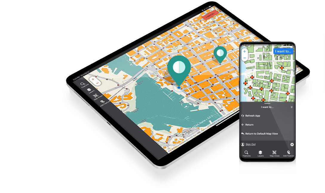
We don't just build software, we build location aware systems. GPS integration, geofencing and spatial analytics are seamlessly woven into your applications, revealing patterns invisible to standard software.

40% hidden pattern discovery
Multimedia-Enhanced UX

Multimedia-Enhanced UX

With multimedia, we create interfaces that don't just function, they feel. Rich media, smooth animations and intuitive design that users actually enjoy.

3x higher user engagement
Offline-First DNA

Offline-First DNA

Born from Namibia's connectivity challenges, our apps work flawlessly where internet doesn't. Sync automatically when connectivity returns with zero data loss.

100% offline capability

The Power of Custom Software

According to the World Bank's report, limited digital infrastructure and fragmented systems are key bottlenecks to development. Off-the-shelf software rarely works in Namibia's unique context low bandwidth, remote areas and diverse user needs.

!

The hidden opportunity: Most organizations use generic software that forces them to work around limitations. Custom software adapts to your workflows, not the other way around unlocking efficiency gains you never thought possible.

VTA Namibia builds software designed for Namibia offline-first, secure by design and scalable from pilot to enterprise. We don't just write code; we solve problems.
Did You KnowDid You Know?

ROI
Custom software ROI3x higher
Faster
Faster operations47%
Security
Data breach reduction86%

Security You Can Trust

We don't bolt security on at the end, it's baked into every line of code from day one.

Defense-Grade Encryption

Defense-Grade Encryption

AES-256 encryption for data at rest. TLS 1.3 for data in transit. Your data, encrypted with keys only you control.

Blockchain Audit Trail

Blockchain Audit Trail

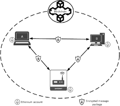
Every critical transaction recorded on an immutable blockchain. Tamper-proof evidence for compliance and disputes.

Zero-Trust Architecture

Zero-Trust Architecture

We never trust, always verify. Every access request authenticated, authorized, and encrypted.

Regular Penetration Testing

Regular Penetration Testing

We hack your application before attackers do. Third-party security audits included in every enterprise project.

Spatial Intelligence That Reveals Hidden Patterns

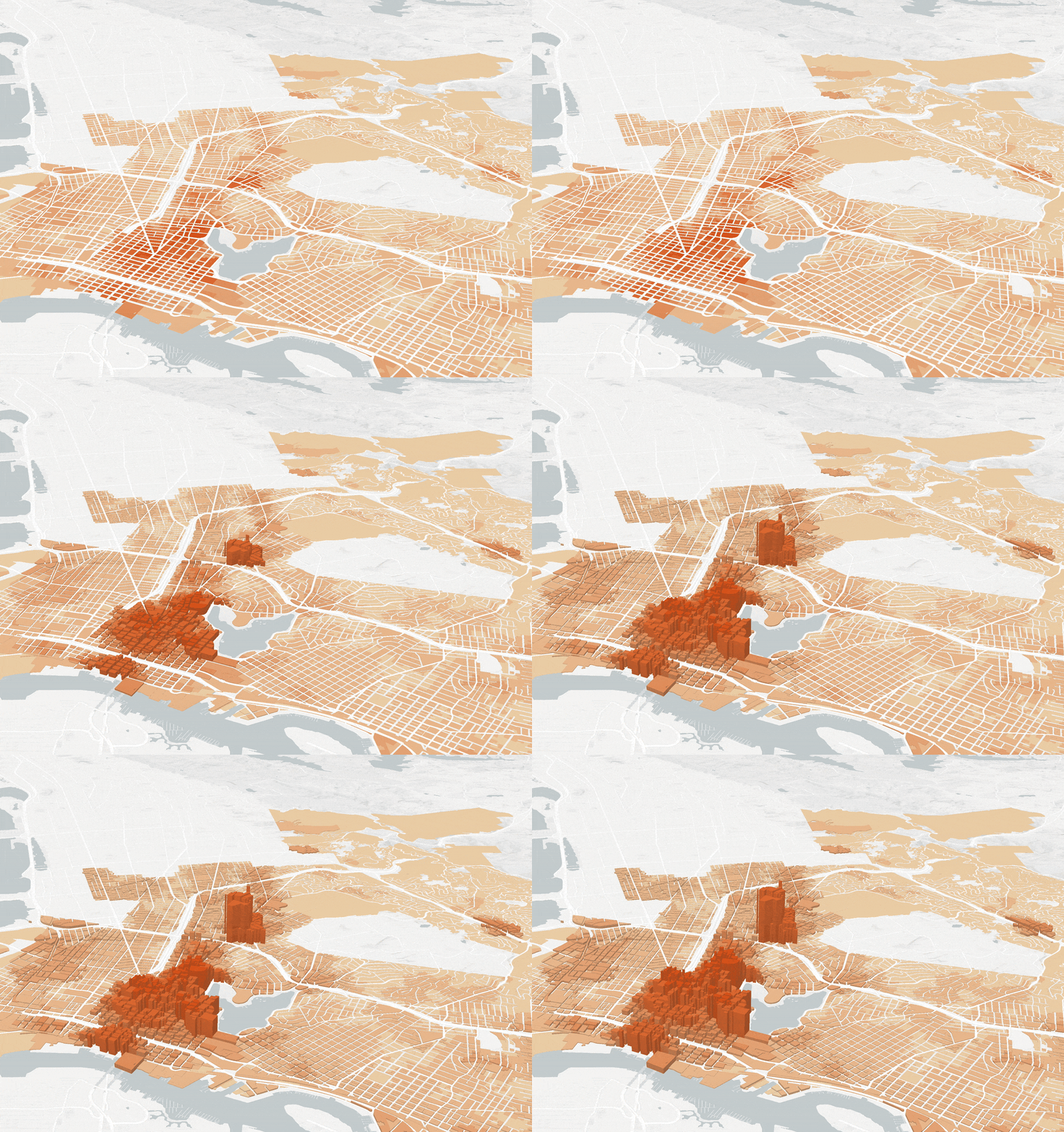
Most software tells you what happened. Ours tells you where it happened, why it happened there and what's likely to happen next.

The Water Point Discovery

The Water Point Discovery

For the Ministry of Health, spatial intelligence reveal disease outbreaks occurred within distance of water points, a pattern invisible to standard software that fundamentally changed prevention strategy.

The Route Optimization Revelation

The Route Optimization Revelation

Logistics discover through spatial analytics that they could save on fuel by avoiding seasonal road conditions they didn't know affected their routes.

The Customer Location Insight

The Customer Location Insight

A retailer discover through spatial analysis that some of their customers came from areas they weren't targeting, leading to revenue increase.

Spatial intelligence

Multimedia-Enhanced User Experience

We partner with our multimedia team to create interfaces that don't just work but delight.

Multimedia Integration

Multimedia Integration

Working with multimedia, we create interfaces with rich media that load fast even on 2G—video backgrounds, smooth animations and interactive elements.

Intuitive by Design

Intuitive by Design

Users shouldn't need manuals. Our interfaces are designed for zero-learning-curve adoption, with familiar patterns and clear feedback.

Accessibility Built-In

Accessibility Built-In

WCAG 2.1 AA compliant by default. Screen reader friendly, keyboard navigable and color-blind accessible.

Our Development Services

Each service combines security, spatial intelligence and beautiful UX

Mobile Application Development

Mobile Application Development

Spatial intelligence + Security-first + Multimedia UX

Cross-platform apps for iOS and Android built with React Native

SpatialSpatial
SecuritySecurity
UXUX

What makes it different:

Spatial: GPS tracking, geofencing, offline maps, location-based alerts
Security: End-to-end encryption, biometric auth, secure offline storage
UX: Smooth animations, intuitive gestures, accessible design
Web Platforms & Dashboards

Web Platforms & Dashboards

Spatial dashboards + Enterprise security + Rich media

Modern, responsive web applications with real-time data visualization

SpatialSpatial
SecuritySecurity
UXUX

What makes it different:

Spatial: Interactive maps, heat maps, location filtering, geospatial charts
Security: RBAC, audit logs, encryption, penetration tested
UX: Custom animations, intuitive filtering, responsive layouts
API Development & Integration

API Development & Integration

Spatial APIs + Blockchain-ready + Universal integration

RESTful APIs and microservices that connect your systems seamlessly

SpatialSpatial
SecuritySecurity
UXUX

What makes it different:

Spatial: Geospatial query endpoints, location data standardization
Security: OAuth2, JWT, API keys, rate limiting, blockchain audit trails
UX: Developer-friendly docs, interactive playground, SDK generation
Blockchain & Security Systems

Blockchain & Security Systems

Geo-blockchain + Military-grade security + Immutable records

Tamper-proof audit trails and secure systems for sensitive data

SpatialSpatial
SecuritySecurity
UXUX

What makes it different:

Spatial: Geospatially-verified transactions, location-based smart contracts
Security: Blockchain immutability, encryption, multi-sig, hardware security modules
UX: Transparent verification, user-friendly blockchain interactions

Software for Every Industry

Tailored solutions that combine security, spatial intelligence, and beautiful UX for your sector

Government & Public Sector

Government & Public Sector

Applications

  • Citizen service portals
  • Land and asset management systems with spatial registry
  • Health information systems
  • Education management platforms
  • E-voting and civic engagement tools

Benefits

  • Improved service delivery to citizens
  • Transparent, auditable processes
  • Data-driven policy decisions with spatial insights
  • Reduced administrative costs
Security

On-premise deployment, data sovereignty, government ICT compliance, blockchain a...

Spatial

Geospatial asset registry, location-based service planning, demographic mapping...

UX

Accessible citizen interfaces, intuitive dashboards, multimedia training...

USE CASE

Ministry of Health Facility Registry: 127 facilities mapped, 47% faster data collection, 86% fewer errors.

How We Build Your Software

A proven methodology that integrates security, spatial intelligence and UX from day one

1

Discovery & Strategy

2-3 weeks

Stakeholder interviews to understand needs

Current workflow analysis

Security requirements gathering

Spatial opportunity identification

Multimedia UX planning

2

Secure Development

4-20 weeks (project dependent)

Security architecture design

Spatial intelligence integration

3

Deployment & Growth

Ongoing

Production deployment with security monitoring

User training

The Business Case

How custom software drives efficiency, revenue and competitive advantage

Reduce Operational Costs

Reduce Operational Costs

  • Automate manual processes saving hundreds of staff hours
  • Reduce data entry errors by 86%
  • Optimize resource allocation with real-time spatial data
Increase Revenue

Increase Revenue

  • Launch new digital products and services
  • Reach customers through mobile and web channels
  • Location-based targeted marketing
Mitigate Risks

Mitigate Risks

  • Blockchain-based audit trails prevent fraud
  • End-to-end encryption protects sensitive data
  • Regular security testing finds vulnerabilities before attackers
Enhance Decision-Making

Enhance Decision-Making

  • Real-time dashboards with spatial analytics
  • Predictive insights from your data
  • Visual reporting with maps and multimedia

300% Average ROI

Success Stories

Real results from real clients across Namibia

Ministry of Health

National Health Facility Registry

127 facilities mapped in 3 weeks · 47% faster than traditional methods · 86% fewer data entry errors · 40% of outbreaks linked to water points (previously unknown pattern) · Now operational across all 14 regions

"The offline capability was crucial. But what really surprised us was discovering spatial patterns in disease outbreaks we never would have seen without their spatial intelligence. This has fundamentally changed our prevention strategy."

Ministry of Agriculture

Drought Early Warning Dashboard

85% prediction accuracy at farm level · Analysis time reduced from weeks to minutes · 30% reduction in crop losses · N$50 million in farmer support optimized · Now operational across 14 regions

"We now warn specific farmers, not regions. The spatial precision saves livelihoods others would miss."

Namibia Statistics Agency

National Data Collection Platform

47% faster data collection · 86% fewer errors · Real-time data visibility · N$2 million annual savings · Now used by 5 government agencies

"We went from paper to digital in months. The quality of our data has transformed, and the spatial insights have revealed patterns we never knew existed."

NamWater

Water Infrastructure Management System

15,000+ assets inventoried · 12 leaks identified in first month through spatial patterns · 3.5 million liters saved annually · 30% faster repair response · N$8 million annual savings projected

"We found leaks we didn't know existed—revealed only through spatial analysis. The blockchain audit trails have eliminated disputes with contractors. The ROI paid for itself in 3 months."

Technology Stack

ReactReact NativeNode.jsPythonPostgreSQLMongoDBDockerAWSGraphQLTensorFlowBlockchainNext.jsMapbox GLRedisKafkaWebAssembly

Seamless Integration

We don't just build new software, we connect with what you already have

API-First Design

API-First Design

All our software is built with APIs that connect seamlessly to your existing systems.

Legacy Integration

Legacy Integration

We connect modern software with legacy systems, no need to replace what works.

Cloud or On-Premise

Cloud or On-Premise

Deploy anywhere: cloud, on-premise or hybrid, based on your requirements.

Project Gallery

Mobile app development

React Native mobile applications with offline-first architecture

Web dashboard

Interactive data dashboards with real-time analytics

API development

RESTful API integration connecting systems seamlessly

Blockchain solutions

Secure, tamper-proof blockchain systems for sensitive data

Ready to Build Software That
Secures, Locates and Delights?

Whether you're a student with an idea, a business seeking efficiency, or a government agency driving national development: we build software that stands out.

Security-First
Spatial-Intelligent
Multimedia-UX

✦ Free discovery workshop ✦ Custom quotes ✦ 300% average ROI ✦ Student discounts available