Geospatial Intelligence Solutions
End-to-end GIS, GeoAI and mobile data collection built for Namibia's 14 regions.
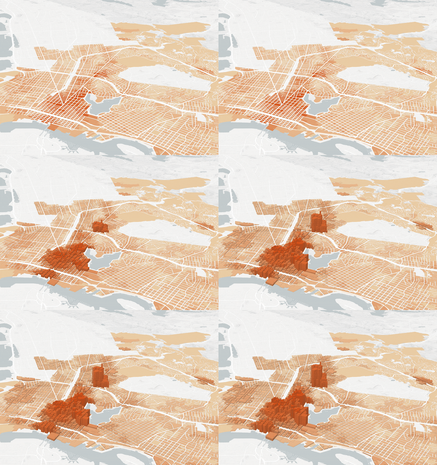
80% of data has a location component. Most organisations never use it.
According to the Namibia Statistics Agency's NSDI strategy, fragmented access to location-based services severely hinders decision-making in critical sectors. A 2023 World Bank report highlights limited digital infrastructure and fragmented data ecosystems as key bottlenecks.
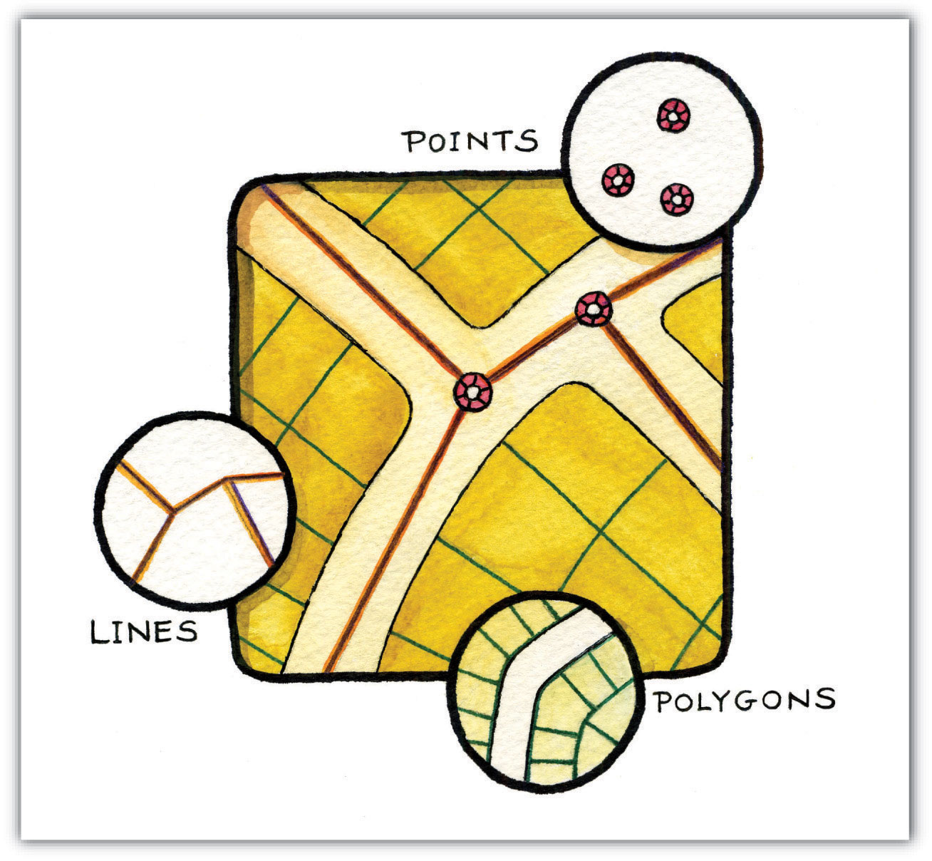
Most organisations collect location data: customer addresses, facility locations, delivery routes but never analyse it spatially. This leaves patterns invisible, relationships undiscovered and opportunities untapped.
Uncover invisible relationships
Spatial analytics reveal patterns in your data that traditional analysis misses — improving planning, identifying gaps and enabling smarter decisions.
Identify optimisation opportunities
By mapping operations against real-world conditions, organisations reduce costs and improve delivery times with evidence-based decisions.
Discover new revenue streams
Geospatial intelligence reveals underserved areas and untapped segments — enabling strategic expansion and targeted marketing.
Solve problems you did not know existed
Spatial audits consistently uncover surprises: assets that shouldn't exist, infrastructure gaps and opportunities hiding in plain sight.
Geospatial services
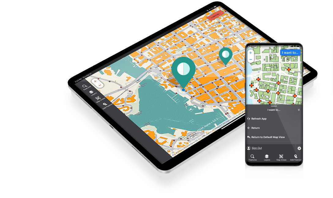
Mobile GIS Application
Offline-first mobile app for real-time data collection in remote areas with automatic sync.
- Real-time collection with no connectivity
- Geotagging of photos & videos
- Customisable form-based data entry
- Automatic sync when online
Every sector, one platform

Precision agriculture, crop health monitoring, drought early warning.

Wildlife tracking, deforestation monitoring, anti-poaching patrol optimisation.

Informal settlement mapping, infrastructure planning, zoning analysis.

Facility mapping, outbreak detection, ambulance routing.

Groundwater mapping, watershed analysis, flood risk assessment.
Mineral prospectivity, pipeline routing, environmental compliance.

Route optimisation, fleet tracking, infrastructure condition monitoring.
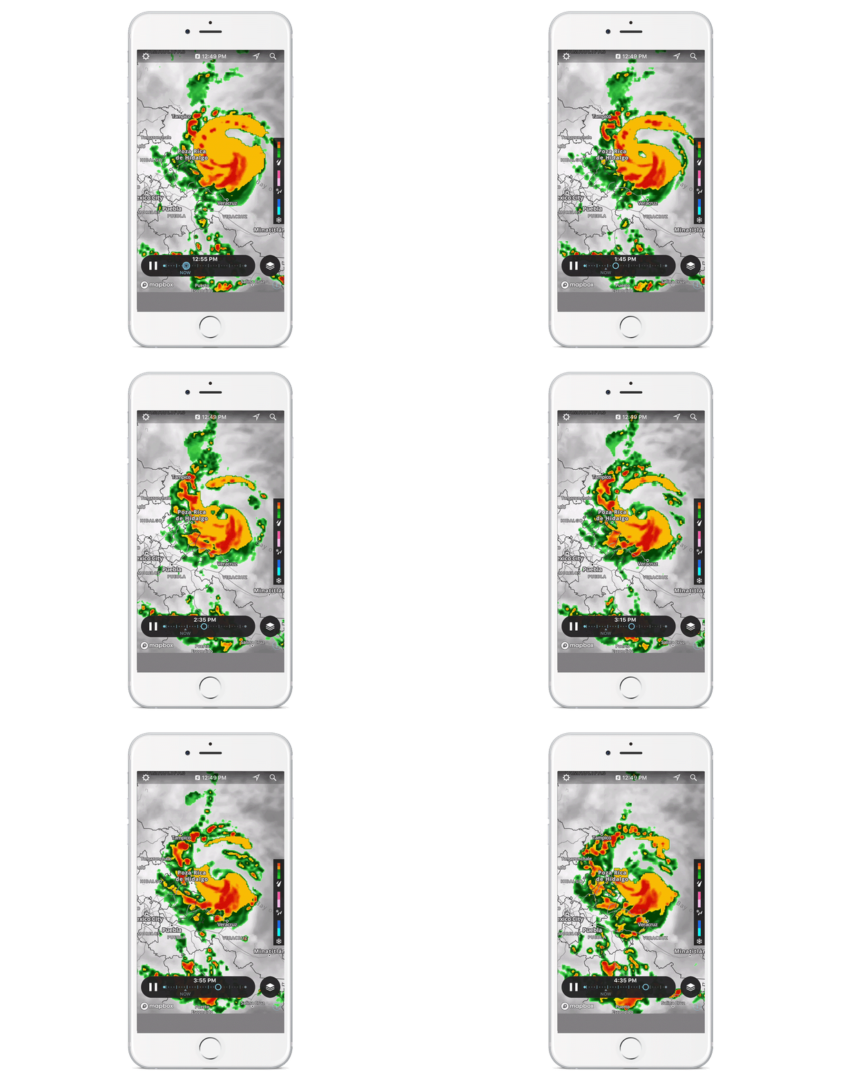
Flood risk, fire modelling, evacuation planning, damage assessment.
300% average ROI
Reduce costs
- -Optimise fleet routes saving 35% on fuel
- -Reduce field data collection time by 47%
- -Minimise manual errors by 86%
- -Preventative maintenance saves 30% on repairs
Increase revenue
- -Identify underserved markets for expansion
- -Optimise service locations for maximum coverage
- -Target marketing based on demographic analysis
- -Discover new customer segments through spatial patterns
Mitigate risks
- -Early warning for natural disasters
- -Identify infrastructure vulnerabilities
- -Monitor environmental compliance
- -Detect fraud through spatial anomaly detection
Enhance decision-making
- -Evidence-based resource allocation
- -Scenario modelling for strategic planning
- -Real-time situational awareness
- -Data-driven policy development
Powered by industry leading tools

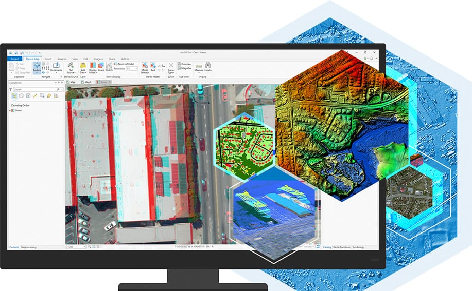
Sentinel-2 satellite data processing for environmental monitoring

Real-time analytics dashboard with predictive insights
Geospatial intelligence is for everyone

Students & Researchers
- ✓ Student discounts on training
- ✓ Free introductory workshops

Small & Medium Enterprises
- ✓ Free geospatial audit
- ✓ Pay-as-you-grow pricing

Large Corporations
- ✓ Enterprise architecture assessment
- ✓ Departmental pilot programs

Government Agencies
- ✓ NSDI-aligned implementation
- ✓ Staff training and certification

NGOs & Development Partners
- ✓ Discounted rates for non-profits
- ✓ Grant writing support
Ready to uncover what your data reveals?
Most clients discover 5–10 opportunities they never knew existed in their first geospatial audit.
visualise the atlas of opportunity hidden in your data with geospatial intelligence